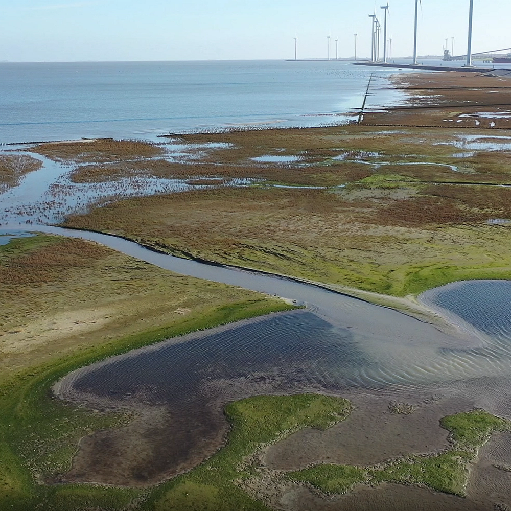
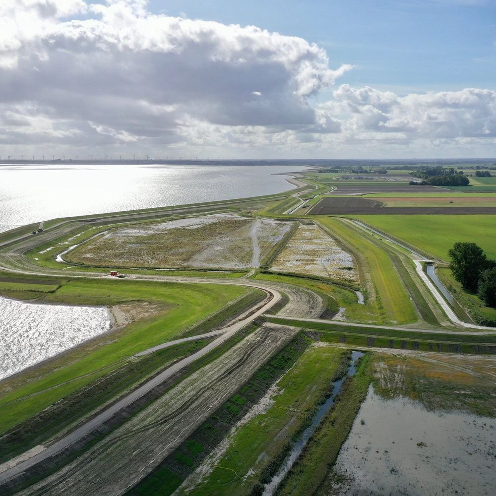
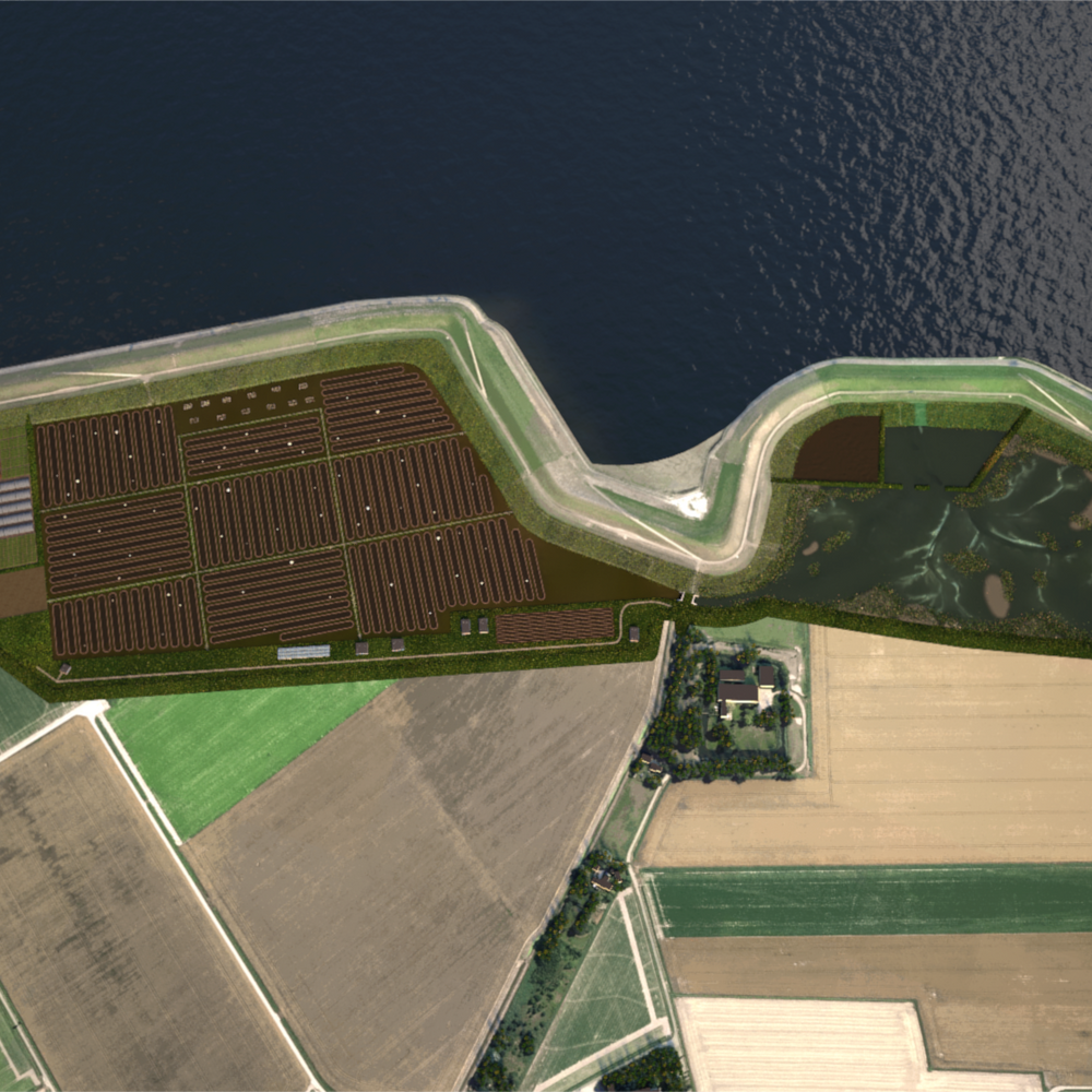
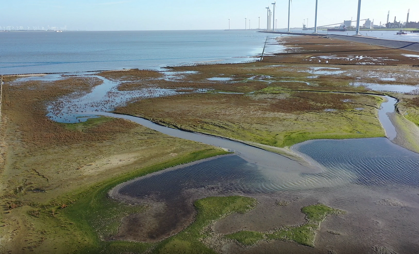
The Ems-Dollard estuary is located on the border between the Netherlands and Germany where the river Ems meets the Wadden Sea, one of the world’s largest tidal areas. The estuary is renowned for its sandflats, mudflats and coastal salt marshes. The current shape of the Ems-Dollard estuary is strongly influenced by human actions. Starting from the Middle Ages, salt marshes were reclaimed by building dikes and coastal peatlands were drained for agricultural use, resulting in soil subsidence. The size of the estuary has decreased due to sedimentation of sand and silt, and reclamation of salt marshes along the coast. Currently, major parts of the area seaward of the dikes are designated as Natura 2000 sites, in both the Netherlands and Germany. However, sea level rise will threaten the survival of coastal wetlands. Partly due to the deepening of the Ems river for shipping purposes, the silt concentration in the estuary has become too high. The resulting water quality problems and the need to reinforce flood defenses has led to the idea of removing sediment from the estuary in a newly created intertidal area in the hinterland. By building a second dike landward of the existing dike, a pilot area of approximately 39 hectares (ha) will be created through WaterLANDS. This area of former agricultural land is split into three sections. The southernmost section is connected directly to the Ems through a culvert, where a combination of clay mining and nature development is proposed, and other sections, for which aquaculture and saline agriculture are planned. This so-called ‘Twin Dike’ project is located near the city of Delfzijl, and is managed by the Province of Groningen.