Context
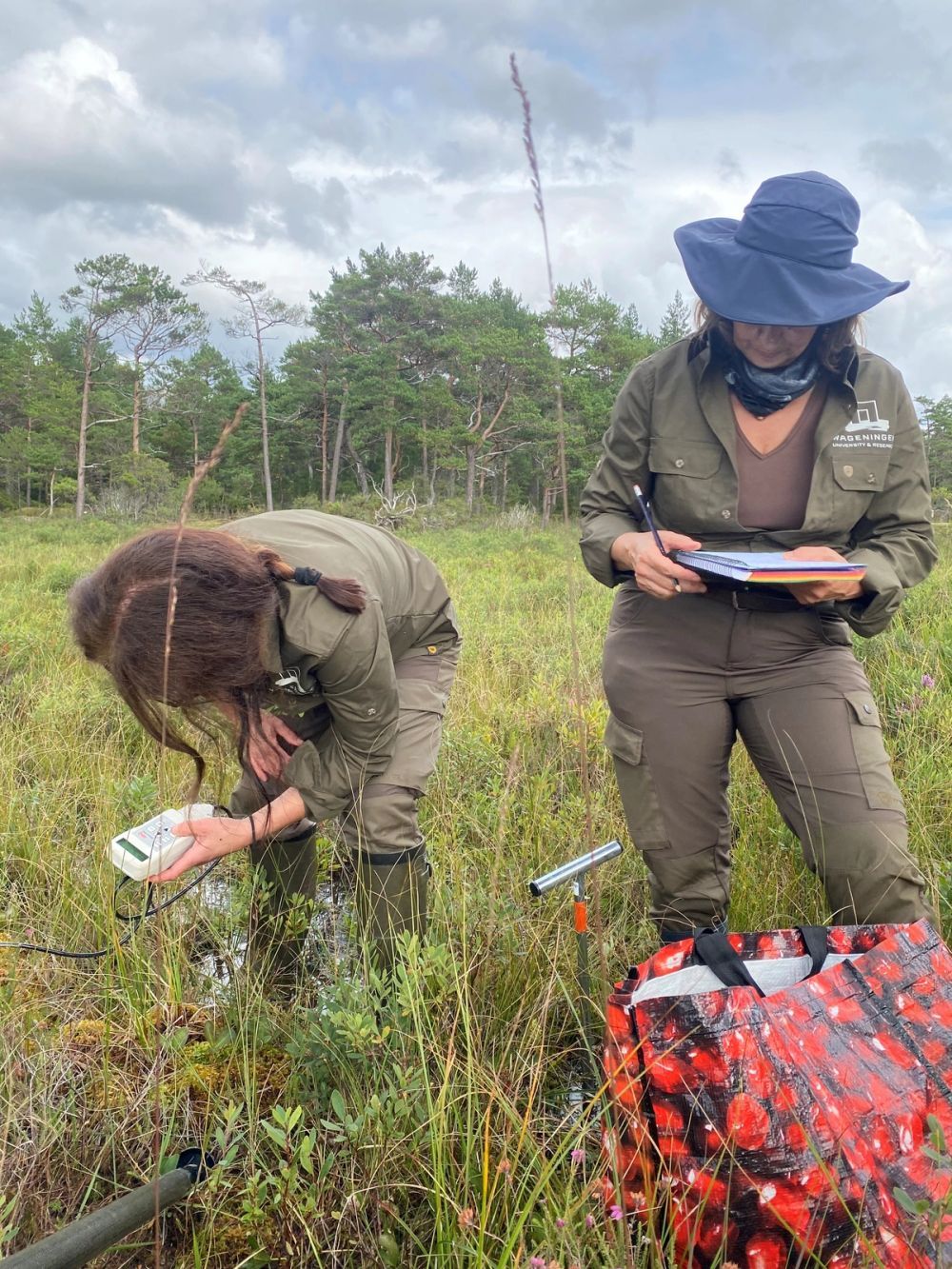
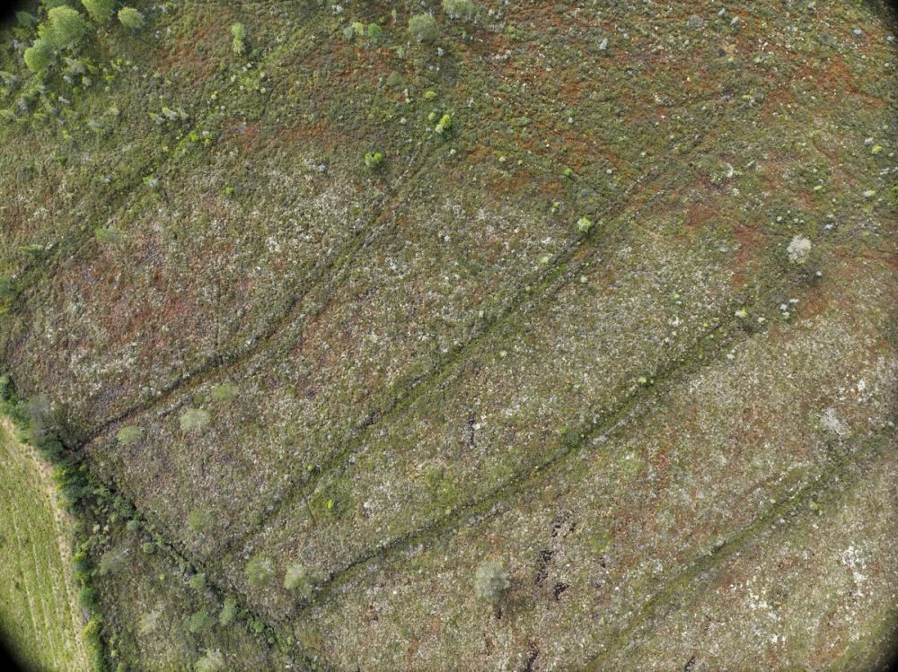
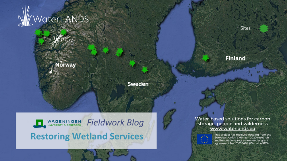
Work Package 1 in the WaterLANDS project relates to restoring wetland services. WP1 works to identify the best ways to manage environmental pressures that affect wetlands with the aim to reverse wetland degradation and recover important ecosystem services such as water quality and flood prevention. The team leading WP1 from Wageningen University have departed on three weeks of field work that will span three European countries. The aim of the field work is to collect drone images and take field measurements of peatlands that will help to upscale ground-based indicators to satellite images. Read the third blog of their trip below.
Swedish Ditches and Delights
The further east we drive, the terrain flattens, the rocky soil becomes covered in sediments, and the numerous small lakes make place for scattered farms and villages interspersed with empty stretches of forest and peatlands. Even the weather becomes more gentle.
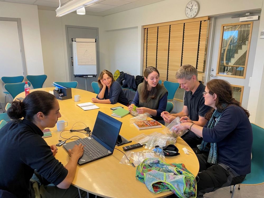
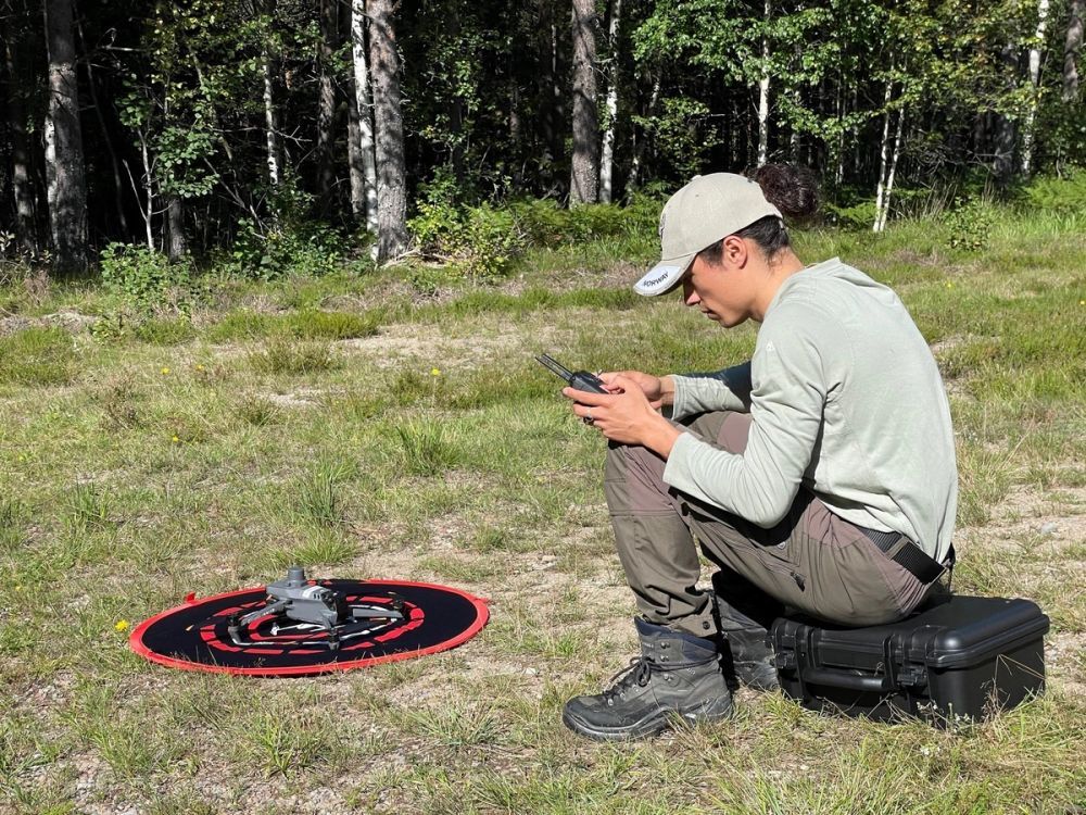
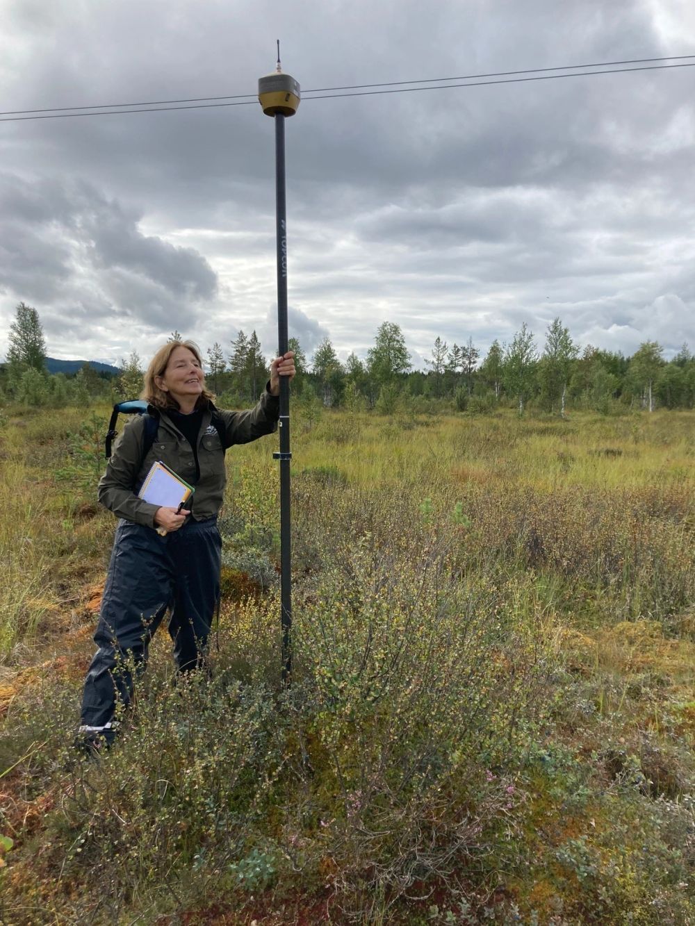
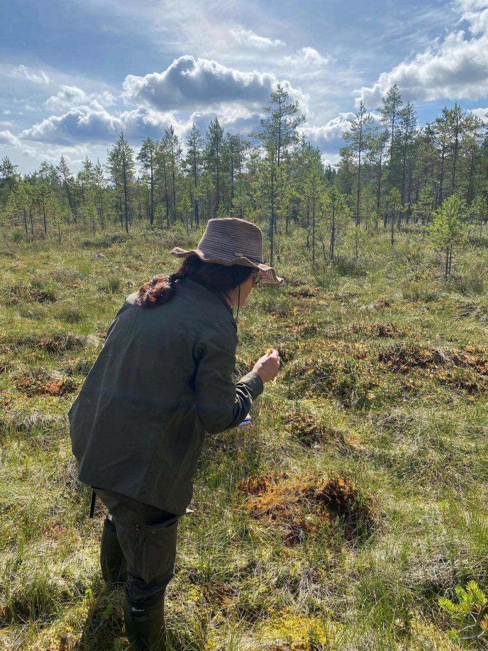
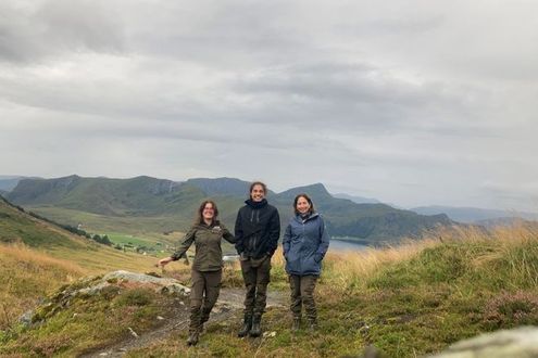
Enahu has become a master drone pilot and Milena and Juul become faster with assessing vegetation and taking local measurements of water and soil conditions. In the evenings, we plan next sampling locations with the help of Gustaf Granath, WaterLANDS partner, and peatland expert from Uppsala University.
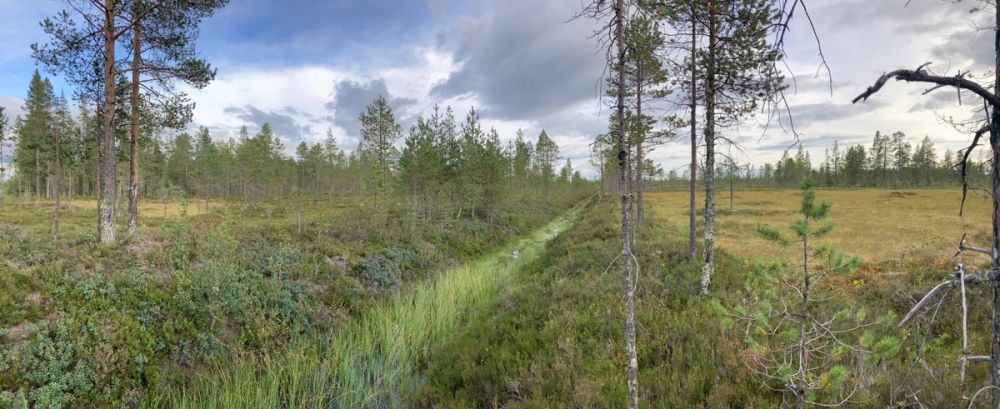
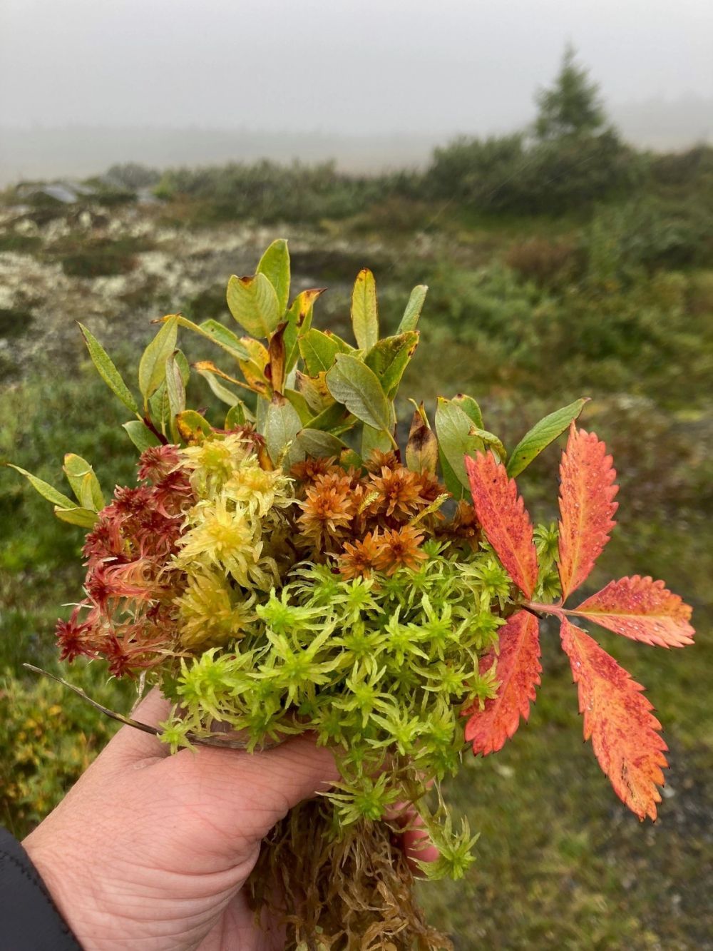
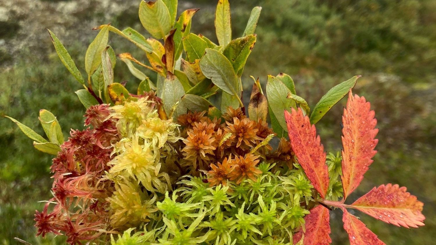
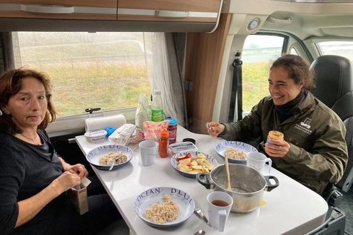
Winter roads and drainage ditches dominate the Swedish peatlands, superimposing straight lines over the natural microtopography. During the long drives, we discuss how to prepare the freshly picked mushrooms or which house to live in if we reincarnate as a Swede. We see more trees, mosses and clouds than people. Sometimes we hear the call of a crane or raven in the distance.
After days of countryside we approach the more densely populated east. Our sampling size has increased to 23 peatlands and almost a terabyte of data. We reload our batteries with the Swedish fika and spend our last night in Stockholm, right next to the harbour, where we parked our camper ready to depart with the ferry. Finland here we come!
Curious about our Swedish sights? Keep on scrolling for pictures!
